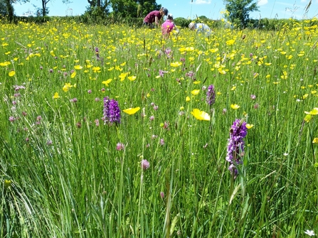
The summer months have seen us undertake our annual meadow monitoring. We visit each of our wildflower rich meadow and grassland sites every 4 years, recording the frequency and abundance of wildflowers in 15-20 quadrats per field. This data is then analysed by our monitoring and research to show how are our meadows are faring over time.
This year we have focused on our floodplain meadows such as Mill Crook, Bugbrooke and Kingsthorpe. These sites remain good examples of wildflower rich floodplain meadows, a scarce and important habitat for which the Nene and Tove valleys are important. However, we have noticed parts of these meadows have declined in recent years with grasses becoming dominant. Further investigation has suggested this is down to increased levels of flooding in recent years that have deposited more nutrients onto sites.
To help us plan ways to reduce the impacts of flooding we are looking to understand more about how the sites flood, i.e. how long water stays on the various parts of the site. To do this we are looking for a volunteer who could take some drone footage of Mill Crook and / or Bugbrooke reserves at various times over the winter when the river is in flood. Both sites involve a walk of around a kilometre from the nearest road and would be best done with a <250g drone (DJI mini etc). If you interested in helping out please contact Jane.pearman@wildlifebcn.org


