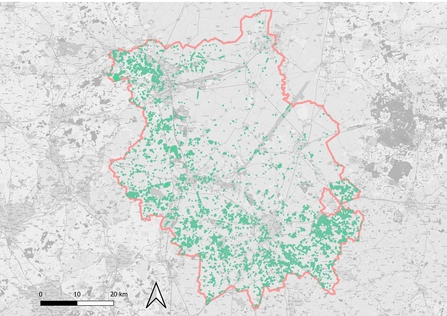
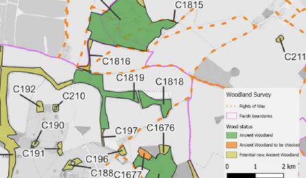
Ancient Woodland is an important and irreplaceable wildlife habitat home to many rare and threatened species. It is therefore essential that we know where this woodland can be found so that it can be protected. Ancient woodland was first systematically mapped in the 1980s resulting in the production of the original inventory listing sites down to 2 ha in size. The inventory was always called ‘provisional’ and individual areas have been modified but it has become apparent that it needs a systematic update. There are many ancient woodland fragments below 2 ha in size which are at present not recognised by the planning system and modern digital mapping techniques and the wider availability of old maps mean that it is now possible to improve the accuracy of the original inventory.
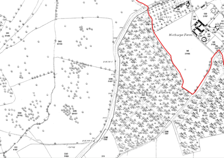
Ancient Woodland in England is defined as having existed continuously since 1600 so updating the inventory has meant delving into old maps. The 1600 date, whilst a rather arbitrary date, was chosen because it marked when the first accurate maps started to be made in this country. The drive to map land accurately came from landowners who wanted to account for their landholdings and these maps were used to support legal documents concerning land sales, purchases and inheritances. As the 17th and 18th centuries progressed parish wide maps were used to delineate the appropriation of commoners’ land, otherwise known as Enclosure, whereby common land and that forming part of the common field system of agriculture was divided up between mainly wealthy landowners. Surveying techniques improved and accurate and detailed county maps began to be produced in the second half of the 18th century with the first detailed mapping of the UK, initially for military purpose, starting around the end of the 18th century. This culminated in the First Series of the Ordnance Survey One-inch to the mile maps being published from the 1820s onwards. The peak of this type of map making came in the second half of the 19th century with the publication of the First Edition of the 25-inch to one mile OS map (Epoch 1), probably the most accurate map of this country ever made before the advent of remote sensing satellite technology.


