The benefits that people derive from the natural environment are known as ecosystem services. They are critical to our wellbeing and economic prosperity, yet are consistently undervalued in decision-making. By identifying, mapping and valuing ecosystem services in the Nene Valley we are improving our understanding of the importance of the natural environment for people and the economy.
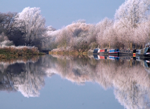
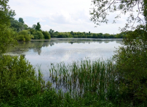
What does nature do for us? On initial thought the natural world may just be somewhere to go for a walk, or where you might find some wildlife. However, there is far more to it than that. The natural environment is key to all of us; if it was to become too badly degraded we would not be able to exist. We rely on water in rivers and aquifers to drink, food grown on good soil and pollinated by insects to eat, clean air purified by trees to breathe, and green spaces to exercise and relax. Green spaces are valued by people for a whole range of reasons; from providing opportunities for exercise, to de-stress, or for appreciation of wildlife.

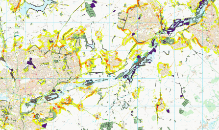
A map of the Upper Nene showing where habitat creation would meet multiple opportunities (e.g. for biodiversity and water quality).
Valuation
We have assessed that ecosystem services in the Nene Valley are valued at £118.7M each year. On average, each hectare of land delivers £2,862 of services per year. This assessment includes only a few of the services that we could value; soaking up carbon dioxide, pollination of crops and orchard fruits, and the money spent on recreational visits. The value of all ecosystem services will be considerably higher.
Mapping
We have mapped a range of other ecosystem services on which it is difficult to place a monetary value. This includes local climate regulation, noise regulation, water purification, accessible nature experience, landscape aesthetics, and timber production. Maps have also been produced showing biodiversity: 265,000 species records have been mapped to show us where our wildlife hot-spots are. A summary report of the mapping work can be downloaded below.
Enhancing nature conservation
This information is being used to identify the links between biodiversity and ecosystem services, and locate land which is delivering many different services. From this we can target areas to conserve and areas to manage better, or differently. An introduction to ecosystem services has been written, and by working with local planning authorities, these principles have been embedded into planning policies that will guide planning and development for the next 20 years.
Habitat Opportunity Mapping
Habitat opportunity mapping is a Geographic Information System (GIS) based approach used to identify potential areas for the expansion of key habitats. It aims to identify possible locations where new habitat can be created that will be able to deliver particular benefits, whilst taking certain constraints into account. These benefits are often referred to as ecosystem services and include regulation of flooding and air quality, and cultural benefits such as recreational opportunities.
Opportunities have been mapped to:
- enhance biodiversity for three different broad habitat types (broadleaved and mixed woodland, semi-natural grassland, and wet grassland and wetland),
- reduce surface water runoff (and hence flood risk),
- reduce soil erosion and improve water quality,
- ameliorate poor air quality, and
- increase public access to natural greenspace.
The biodiversity opportunity maps highlight areas that are best located in terms of their connectivity to existing habitat patches and are therefore most appropriate from an ecological point of view.
The opportunity maps can be used to assist with the development of green infrastructure strategies and planning, locating the best places for biodiversity offsetting and natural capital net gain initiatives, for agri-environment scheme targeting and habitat restoration projects, and as an important step towards producing a natural capital investment plan or strategy for the area. In addition, potential mechanisms to take this forward include natural flood risk management and catchment sensitive farming schemes, health and wellbeing initiatives, and UK Woodland Carbon Code projects. It is recommended that the maps are refined further in relation to existing plans and priorities, and that a workshop is held with local stakeholders to ground-truth locations, provide rules to target certain habitats or certain opportunities in different locations, and to prioritise locations to take forward.


