Image by Sophie Baker

Image by Bob Izzard
Photo by Sophie Baker
Photo by Sophie Baker

Image by Sophie Baker
Felmersham Gravel Pits
Know before you go
Dogs
When to visit
Opening times
Open at all timesBest time to visit
April to May, June to SeptemberAbout the reserve
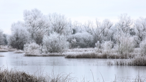
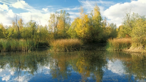
When gravel was extracted towards the end of the Second World War, little did people know that they were creating what would become a superb wildlife habitat. Decades on and a rich mosaic of woodland, grassland and open water has developed. The lakes are one of the best places for dragonflies and damselflies in Bedfordshire, with no fewer than 18 species known to have bred. The nearby Great Ouse brings in even more species, with adults hunting over the water and grassland.
Wildfowl congregate on the open water including great crested grebe, teal and tufted duck, while grey heron hunt along the banks. Chiffchaff, reed bunting, and sedge and willow warblers can all be found on site.
In deep water areas rare plants such as whorled water-milfoil and bladderwort have established, while the shallower margins are dominated by reed and common bullrush. The islands formed by extraction now support alder and yellow and purple-loosestrife.
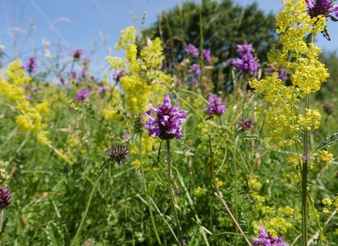
The undisturbed grassland retains wild flowers such as black knapweed, common spotted orchid, lady's bedstraw and common fleabane and is flanked on the boundary by established hedgerows of dogwood, hawthorn and blackthorn. Elm re-growth feeds caterpillars of the white-letter hairstreak butterfly. We coppice willows around the pits, and manage scrub on the site to provide a diverse age structure and increase habitat. The meadows are grazed by cattle to remove the annual growth.
Additional information
- Angling by Wildlife Trust permit only.
- There is a work party at this reserve. See the work party page for more information.
- Scroll down to see the reserve boundary. Please note the boundary map is for indication purposes only and does not show the Wildlife Trusts definitive land boundary.
FOR ANY MEDIA ENQUIRIES PLEASE CONTACT OUR COMMUNICATIONS TEAM: communicationsteam@wildlifebcn.org or 01954 713500 and ask for comms team.

